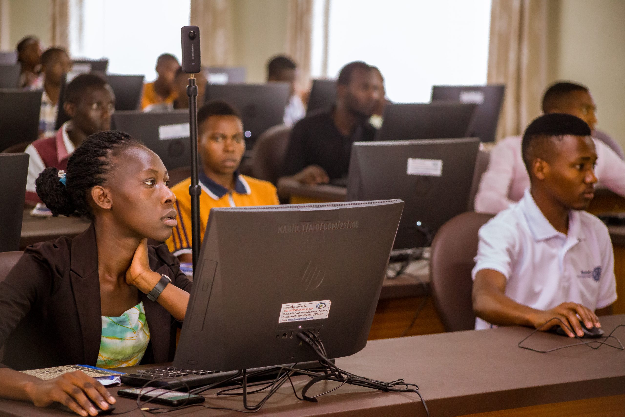
Kabale University’s new computer lab was abuzz with activity on the 29th and 30th of April 2023, as students from various faculties gathered to learn about mapping and geospatial technologies. The event, titled “Explicit Training on QGIS and JOSM under the theme Mapping for Climate Resilience,” was organized by the KabYouth Mappers Chapter, in collaboration with a team from OpenStreet Map Uganda.
The aim of the event was to equip students with skills that would enable them to use mapping technologies to contribute to climate resilience efforts. Over the course of two days, the students received training on QGIS and JOSM, two popular mapping tools used in the industry. The training was led by Mr. Micheal Karuba, a Field mapping and GIS Associate Trainer.
Mr. Karuba, who himself had benefited from mapping skills in his career, encouraged the students to make use of the opportunities presented to them. “Mapping skills have given me more opportunities in my life,” he said. “I encourage you to make connections while you are here at the university, as they will help you in the future.”
The event was not only about equipping students with technical skills but also about inspiring and empowering them. Mukisa Jemimah Precious, the Community Engagement and Development Associate, took the time to encourage girls to consider careers in the field of technology. “The world is going digital, and this is the way to go,” she said. “Girls can also manage in this field, and I encourage them to compete with boys.”
 The students were enthusiastic about the training and the opportunities presented to them. “This training has opened my eyes to the possibilities that exist in the field of mapping,” said one student. “I am excited to explore this field further and contribute to efforts towards climate resilience.”
Allody Asiimwe Muhwezi, a student from the Faculty of Education, appreciated Kab Youth Mappers for organizing the event, saying that he was able to cover the entire GIS course in a single day. He also noted that GIS is a compulsory unit in the new secondary lower curriculum.
Mr. Arthur Anerase, the Field Communication Associate, urged the students to make use of OpenStreet Map, a platform that provides a wealth of opportunities for mapping enthusiasts. “There are many opportunities in this field, and OpenStreet Map is a great platform to get started,” he said.
Madam Akankunda Babrah, the Present Youth Mappers Kabale University Chapter, thanked the facilitators for their work and encouraged all students to join the club and aspire to be leaders in Youth Mappers. She also thanked their Patron, Prof. Busigye Phelix (Dean Faculty of computing Library and Information Science-FoClis), for his guidance and support towards the Kab Youth Mappers Chapter.
Hon.Akandwanaho Gracious, the Guild Minister of ICT at Kabale University, thanked the OpenStreet Map Uganda team for prioritizing Kabale University and empowering students with mapping skills. He encouraged students to take advantage of these opportunities and to join the Kab Youth Mappers chapter to learn more.
The event was a success, with many students leaving with a newfound appreciation for the role of mapping in climate resilience efforts. The KabYouth Mappers Chapter hopes to organize similar events in the future, to continue empowering and inspiring the next generation of mapping enthusiasts.